
SEEBASE®
SEEBASE is an integrated, spatially-continuous, multi-layer basement model that defines the 3D geometry of basement and provides insights into the structural style and tectonic setting of basin systems and basement geology. The characteristics of basement provide first-order controls on the architecture of an evolving basin.
Geognostics are experts in the interpretation of basement and basin geology specialising in an integrated ‘bottom-up’ approach to understanding crustal and basement structure, tectonics, basement terranes and composition, encapsulated in the SEEBASE® workflow and resulting model.
SEEBASE is developed through the iterative integration, interpretation and calibration of a range of geophysical and geological datasets. The SEEBASE® model can be updated as new datasets are acquired or become available.
SEEBASE workflow steps include:
Literature, (Client and/or in-house) knowledge and technical expertise
State-of-the-art geophysical processing, enhancements and imaging of potential field datasets
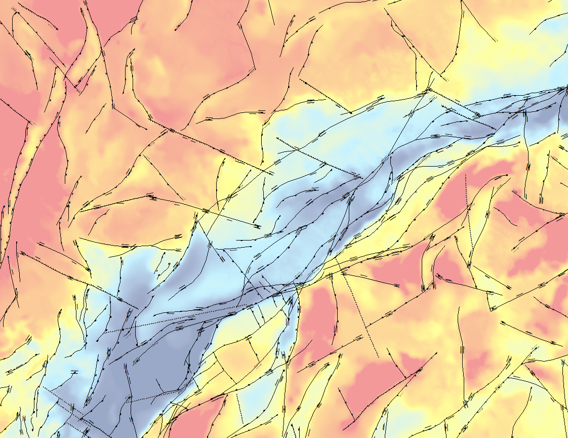
Assessment and integration of crustal architecture
Interpretation of geological sources of gravity and magnetic anomalies
Interpret basement terranes including their age, nature and boundaries
Plate reconstructions leveraging the Geognostics GEM Tectonic Module and review of available third-party literature.
Integration of tectonic events and structural responses to define basement and basin evolution
Identification of major structures and active faults through time
Gravity and magnetic modelling
Depth calibration of interpreted basement to seismic, wells, outcrop, published cross-sections

SEEBASE model deliverables include:

SEEBASE Depth to Basement
SEEBASE Depth to Basement is a hand-contoured surface integrating potential field interpretation and calibration from seismic, wells and literature.
Interpretation Confidence
Structure and Tectonic Events


Basement Composition

Basement Terranes

Depth to Moho

Predicted Heat Flow
Atlas-style Report
SEEBASE is available as part of Global SEEBASE or as tailored client studies.